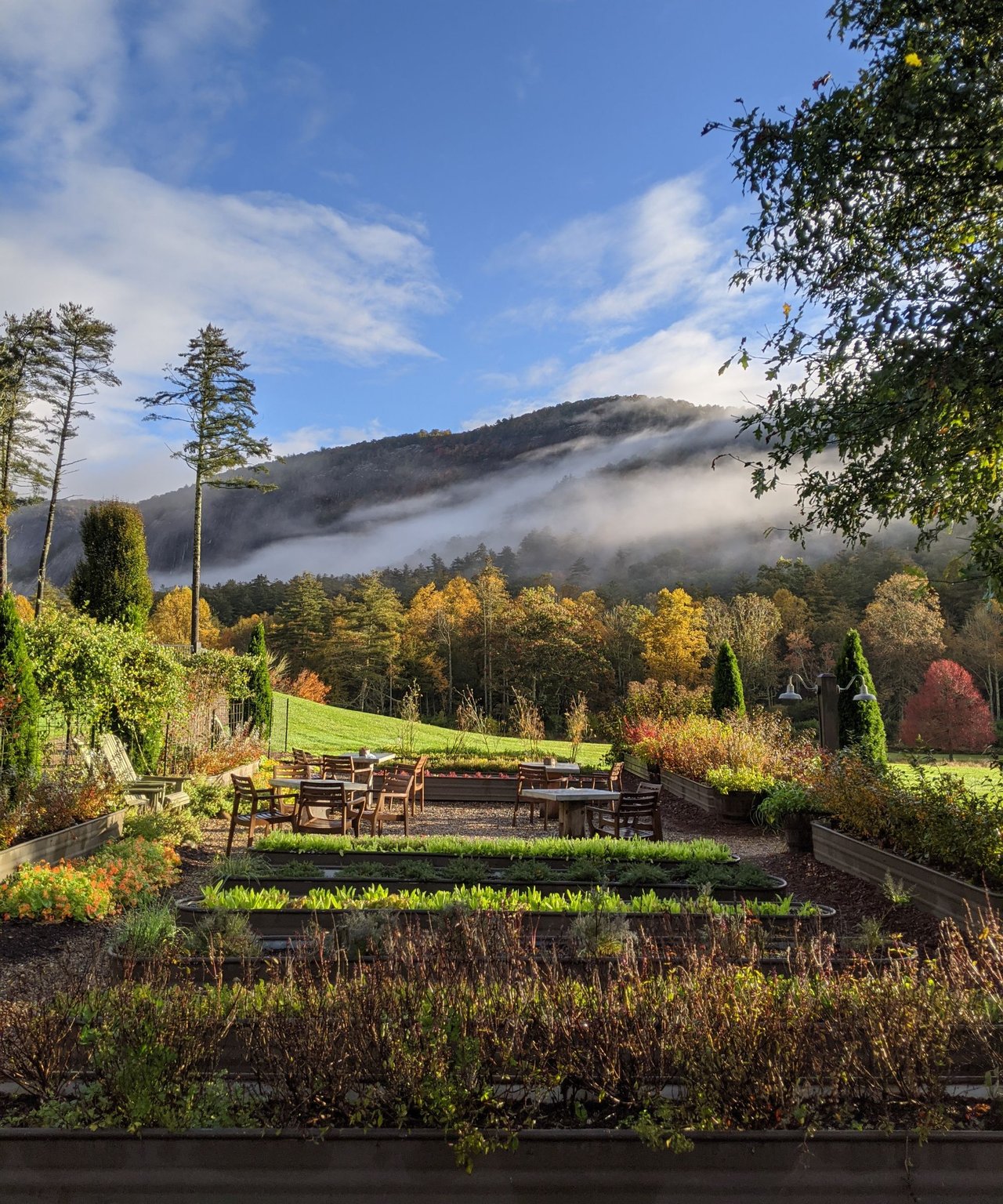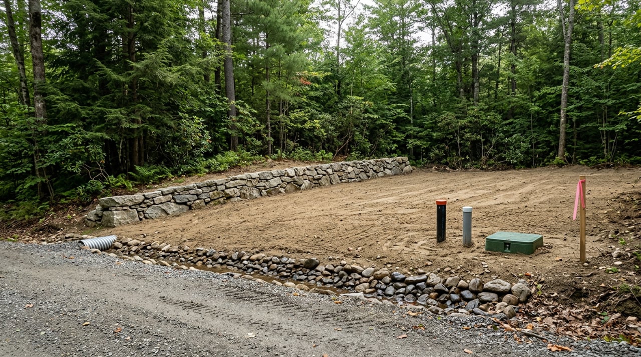
You fall in love with a mountain view, then realize the real question is not beauty. It is buildability. Around Cashiers, the land can be steep, rocky and lightly served by public utilities, so smart due diligence is what turns a dream site into a successful project. In this guide, you will learn the local steps that matter most, where to apply for permits, and the red flags to avoid before you buy. Let’s dive in.
Why Cashiers land needs extra diligence
Cashiers sits on a high-elevation plateau where shallow soils over hard bedrock are common. The North Carolina Geological Survey documents pegmatites and other hard-rock units in the Highlands–Cashiers district, which often means more excavation, engineered driveways and sometimes blasting to prepare a homesite. You should expect septic and well feasibility to be gating items for closing or for getting a building permit. Where public sewer exists near the village core, it can change a lot’s yield and cost profile significantly, but capacity and connection details must be confirmed.
For reliable background on geology and why rock work is common here, review the state’s publication on pegmatites in the Cashiers area from the NC Geological Survey at the Department of Environmental Quality. Where sewer may be an option, the Tuckasegee Water & Sewer Authority provides service in limited parts of Cashiers and publishes system documents that can frame early questions about availability and extensions.
Confirm legal access and roads
Recorded access in Jackson County
Start with the paper trail. Confirm that the parcel has recorded legal access in the deed or by easement, visible through Jackson County’s Register of Deeds and GIS resources. Jackson County Environmental Health requires a site plan that shows legal access when you apply for septic and well permits. If access crosses multiple parcels, make sure each crossing is supported by a recorded easement before you proceed.
You can review the county’s Environmental Health application checklist to see what is required prior to site visits and permitting, including a Land Development Application and survey or plat. Applications are processed in the order received and a site visit will not be scheduled until documents and fees are in place.
Public vs private roads and NCDOT permits
Many Cashiers-area lots are served by private or gated roads. Learn who maintains the road and how costs are shared. If your driveway will connect to an NC state route, you will need an NCDOT driveway or encroachment permit. NCDOT’s guidance explains submittals, fees and potential conditions like sight distance, culverts and grading standards.
Practical red flags to catch early
- No recorded access or unclear deed language.
- Access over private drives without a recorded easement.
- Gated roads with no maintenance or entry agreement.
- Drive alignments that appear too steep for safe access without engineered solutions.
You will also be asked for site-addressing and any gate codes on Jackson County Environmental Health forms, so be ready with accurate access information.
Understand topography, soils and bedrock
Use NRCS soils as a first screen
Before you walk the property, run a quick review in the USDA NRCS Web Soil Survey. It can show mapped soils, drainage, slope classes and likely limitations. Treat this as planning-level data only. You will still need an on-site evaluation to confirm buildability and septic options.
Expect shallow soil and hard rock
The Highlands–Cashiers plateau includes pegmatites and ultramafic bodies that often sit close to the surface. Shallow soils and rock outcrops can limit percolation for drainfields and raise excavation costs. The NC Geological Survey’s report on Cashiers-area pegmatites explains why blasting or heavy equipment is sometimes necessary. Budget for additional site work if your survey shows steep slopes, narrow benches or obvious rock seams.
Order survey and consider geotech
Order a boundary and topographic survey early. Ask your surveyor to show proposed house, driveway and septic areas to scale. On steeper or rocky parcels, consider a geotechnical review or rock-probe study to check bedrock depth where you plan to build and where the drainfield might go. Jackson County Environmental Health requires a site plan or plat with proposed wastewater locations as part of the septic and well application.
Water and wastewater feasibility
Septic approvals drive feasibility
Outside the small core of Cashiers, most properties rely on on-site wastewater and private wells. Septic permitting is handled by Jackson County Environmental Health. Your application will list bedrooms or fixtures and must include a site plan and survey. The county processes applications in the order received and schedules visits after it receives complete documentation and fees.
See the Environmental Health application portal for current steps and required documents. Early coordination helps you understand whether a conventional system is likely or whether the site may require an engineered alternative.
State options for constrained sites
North Carolina’s On-Site Water Protection program outlines multiple pathways, including county environmental health review, Authorized On-Site Wastewater Evaluator options and engineer-option permits. On constrained mountain lots, alternative or engineered systems may be required. Review the state program resources to understand the permitting tracks and approved technologies.
Where public sewer changes the math
In parts of the Cashiers village area, the Tuckasegee Water & Sewer Authority operates a southern system. Where a service line is available, sewer can expand feasibility or increase the number of buildable lots in a subdivision. Always confirm service boundaries, connection costs and capacity directly with TWSA using their published system documentation.
Utilities and connectivity
Electric service and easements
Identify the local electric provider early because line extensions and transformers can add cost and may require easements across neighboring parcels. Jackson County’s building permit packet reflects the need to identify a power provider when you apply for permits. Ask the utility about meter availability, extension estimates and any right-of-way requirements.
Internet and cell service on the plateau
Broadband and cellular coverage vary by ridge and hollow. Terrestrial service may be limited in some areas, and many owners use satellite or fixed wireless. As you compare parcels, check provider maps and ask neighbors about their experience. If high-speed work-from-home is essential, confirm your plan B before going firm on a contract.
Environmental and land-use constraints
Floodplains and stream buffers
Many mountain parcels include headwater streams or low areas that may appear dry until heavy rain. Before you design, check the FEMA Flood Map Service Center for your parcel’s flood zone. Jackson County also manages floodplain permitting and erosion control at development. You will likely need to commit to erosion and sediment controls, and larger land disturbances at or above one acre typically require a formal plan.
Conservation easements and viewsheds
Local land trusts have conserved significant acreage that shapes viewsheds and limits certain activities on protected land. A parcel can also carry a recorded conservation easement. Check the Highlands–Cashiers Land Trust resources and confirm any recorded easements through the Register of Deeds before you buy. Conservation can be a benefit when it protects neighboring land, but it can also restrict clearing or building envelopes.
County erosion and stormwater forms
Review Jackson County’s Building and Erosion Control forms to understand local expectations for erosion control, stormwater and floodplain reviews. If your site plan includes stream crossings or notable grading, sync with the county early so your timeline reflects plan approvals.
Permitting roadmap in Jackson County
- Building permits: Jackson County Permitting and Code Enforcement issues building permits and runs the online portal. The packet requests contractor information and utility details.
- Septic and well: Apply through Jackson County Environmental Health. You will need a Land Development Application, site plan or plat with wastewater locations, bedroom or fixture counts and fees. Applications are queued in the order received.
- Erosion, stormwater and floodplain: Use Jackson County’s forms to determine whether your project requires an erosion and sediment control plan or floodplain permit.
- Driveway ties to state roads: If your access meets an NC route or US route, apply to NCDOT for a driveway or encroachment permit. Do not assume driveway work is only a county matter when a state right-of-way is involved.
- FEMA and flood compliance: If any part of the parcel is in a Special Flood Hazard Area, expect elevation or floodproofing requirements and local floodplain permits.
Step-by-step due diligence checklist
- Preliminary title and records review
- Search the Register of Deeds and county GIS for recorded access, easements, covenants and HOAs. Confirm legal access in writing.
- Boundary and topographic survey
- Show proposed house, driveway and septic envelopes. Jackson County Environmental Health requires a site plan or plat with your application.
- Preliminary soils review
- Use the NRCS Web Soil Survey for initial screening. Then engage a licensed soil scientist or request a county Environmental Health evaluation to understand septic options.
- Water supply feasibility
- If not in a TWSA service area, plan for a private well. Consult a licensed well driller on probable depths and yields. Where public service is nearby, confirm connection costs and capacity with TWSA.
- Power and communications
- Contact the electric utility for line extension estimates and easement needs. Check broadband and cell coverage, and plan for alternatives where needed.
- Access and NCDOT check
- If the driveway will meet a state road, consult NCDOT early about driveway permit conditions that could affect alignment, culverts and schedule.
- Environmental constraints
- Use the FEMA Flood Map Service Center to check flood zones. Ask the county about buffers or wet areas that may require additional review. Check for any conservation encumbrances.
- Written site-work estimates
- Obtain bids for driveway, excavation, septic and, if warranted, blasting. Hard rock and long, steep drives are the biggest cost drivers in the area.
- Permit pre-applications as contingencies
- Where possible, seek preliminary septic or well approvals, driveway guidance and a Land Development Application review before removing contingencies.
- Final protections at closing
- Ensure any road maintenance agreements, recorded access and new utility easements are included in the final documents.
Real-world pitfalls to avoid
Lot with no recorded access
- A buyer discovers the only path crosses a neighbor’s land with no easement. Remedy: require deeded access before closing and verify through county records. See the Environmental Health application guidance for the county’s expectation that legal access is shown on site plans.
Septic fails a standard review
- Shallow soils or rock lead to a requirement for an engineered or alternative system. Remedy: obtain an early site evaluation from Environmental Health or a licensed soil scientist and review North Carolina’s on-site rules for alternative pathways.
Driveway triggers NCDOT conditions
- The driveway meets a state road, so NCDOT requires sight-distance adjustments and culvert sizing. Remedy: consult NCDOT early and build permit conditions into your schedule.
Stream buffer or conservation easement limits your footprint
- A protected stream or recorded conservation easement reduces clearing or building options. Remedy: check conservation resources and floodplain or buffer requirements before you buy.
Your local team for a smooth build
- Land surveyor for boundary and topo
- Licensed soil scientist or septic designer for wastewater feasibility
- Geotechnical or structural engineer for foundations and retaining design
- Licensed well driller for water supply advice
- Civil or driveway contractor with NCDOT experience
- Local permitting consultant or architect familiar with county processes and plan goals
- Real estate attorney or title company to confirm easements and closing protections
Next steps and how I help
Buying mountain land is equal parts vision and verification. Your best leverage is a structured process that confirms access, septic and water feasibility, utilities and environmental constraints before you remove contingencies. As a Cashiers-based advisor, I help you coordinate surveys, site evaluations and permit pre-screens, connect you with the right local pros, and negotiate timelines and protections that fit the terrain and the rules.
If you are considering acreage, a view lot or a build-ready parcel on the Highlands–Cashiers plateau, let’s talk through your goals and map the steps. You will know what to expect, what it will take to build and how to move forward with confidence.
Ready to evaluate a specific property or start a targeted land search? Reach out through the contact page on Collin Taylor - Main Site to schedule your consultation.
NC Geological Survey on Cashiers-area pegmatites
Jackson County Environmental Health applications and workflow
USDA NRCS Web Soil Survey
Tuckasegee Water & Sewer Authority system documents
NCDOT driveway and encroachment permit guidance
Jackson County Building, Erosion and Floodplain forms
FEMA Flood Map Service Center
Jackson County building permit packet
Highlands–Cashiers Land Trust
FAQs
How long does septic approval take in Jackson County?
- Jackson County Environmental Health processes applications in the order received and schedules site visits only after it receives complete documents and fees, so timelines depend on seasonal volume and your submittal readiness.
What if a Cashiers-area lot has no recorded access?
- Treat it as a major risk; require deeded, recorded access as a contract condition and verify through the Register of Deeds and site plan requirements used by Environmental Health.
Can I connect to public sewer near Cashiers village?
- In limited areas served by the Tuckasegee Water & Sewer Authority, connection is possible, but you must confirm service boundaries, capacity and connection costs directly with TWSA.
How steep can a mountain driveway be before it is a problem?
- Steep approaches often need engineered design, and driveways that meet state routes must satisfy NCDOT sight distance and drainage conditions, so consult NCDOT early.
Do I need a geotechnical review before building in Cashiers?
- On steep or rocky sites, a geotechnical or rock-probe study can reduce surprises by confirming bedrock depth and informing foundation and driveway design.
Will I need blasting to build on a rocky lot?
- The region’s documented pegmatites and hard rock increase the chances of blasting or heavy excavation, so get bids after your topo and preliminary geotechnical checks.
Which permits apply if my driveway connects to a state road?
- You will need an NCDOT driveway or encroachment permit, and the agency may set conditions on alignment, culverts and sight distance that affect schedule and cost.